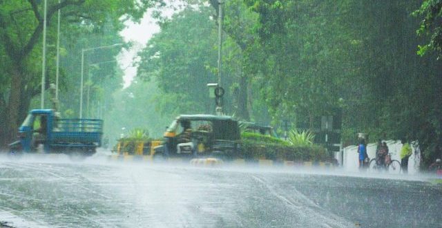
The Indian Meteorological Department (IMD) indicated in its special day bulletin on Wednesday that the low-pressure region over the Northwest and adjoining west-central Bay of Bengal off the shores of south Odisha and north Andhra Pradesh has diminished. However, due to the active monsoon, rain is expected to fall over much of the peninsular central and neighbouring East India, including numerous districts in Odisha, over the next 3-4 days.
According to the IMD’s special report, the related cyclonic circulation currently extends up to 7.6 km above mean sea level and tilts southwestwards with height over south interior Odisha and neighboring states.
Because of the busy monsoon, numerous districts in Odisha have received more than 100 mm of rain in the last 24 hours. Furthermore, the IMD issued a warning of light to moderate rain or thundershower for the next 3-4 days for various districts.
Furthermore, heavy rain is quite likely to fall in one or two spots in most districts of Odisha within the next 24 hours.
Yellow warnings have been issued for areas that are expected to get heavy rain.
Yellow warnings were issued for Malkangiri, Koraput, Rayagada, Gajapati, Kandhamal, Kalahandi, Nabarangpur, Nuapada, Bolangir, Bargarh, Jharsuguda, Sundargarh, Sambalpur, Deogarh, Keonjhar, Mayurbhanj, Angul, and Balasore districts on Day One. On Day Two, severe rain is expected in isolated areas throughout several districts, including Bargarh, Sambalpur, Jharsuguda, Sundargarh, Deogarh, Angul, Keonjhar, Mayurbhanj, Balasore, Bhadrak, Kendrapara, Jagatsinghpur, and Jajpur. On Day three, heavy rain is expected in Jharsuguda, Sundargarh, Keonjhar, and Mayurbhanj.


 Finance


