


 Finance
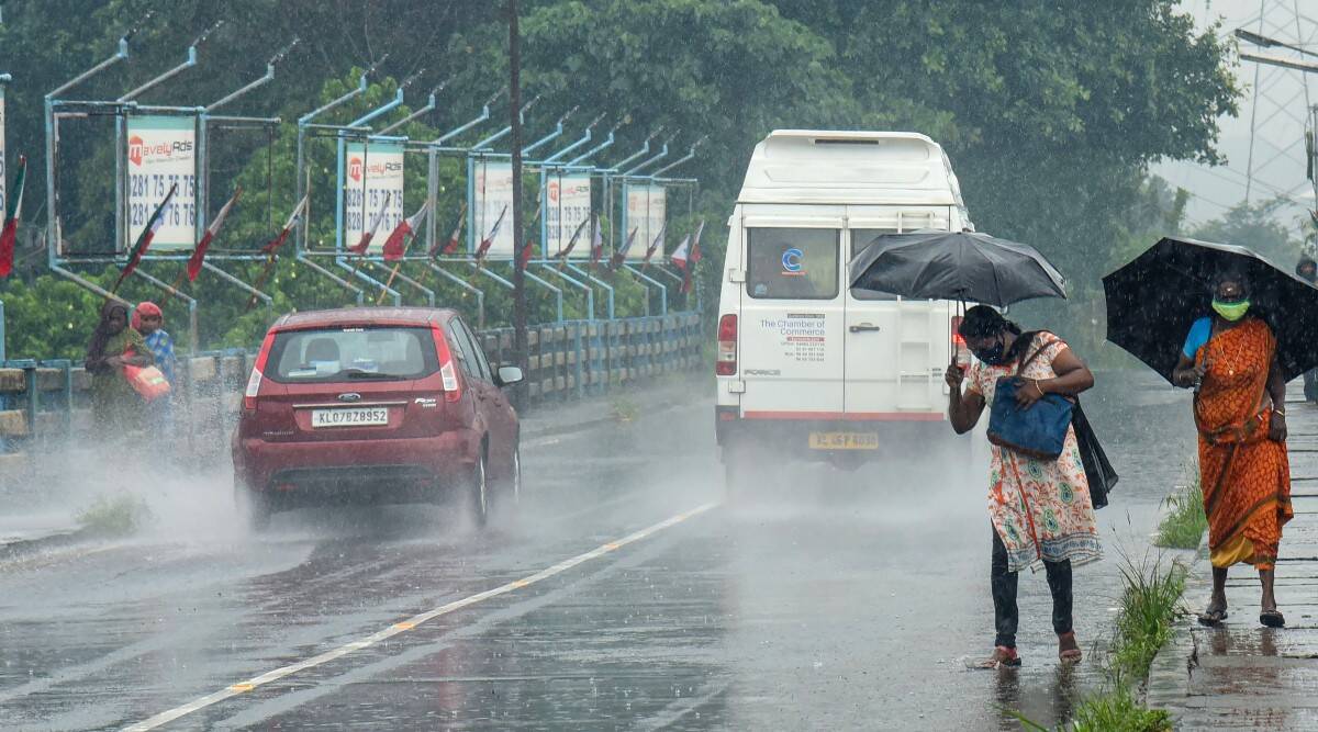
Heavy rain and thunderstorm warnings have been issued throughout Odisha due to a persistent low-pressure region over the Bay of Bengal (BoB), the Indian Meteorological Department (IMD) reported on Wednesday.
Within the next 48 hours, the system is predicted to strengthen and shift west-northwest, affecting South Odisha and North Coastal Andhra Pradesh.
Off the shores of North Andhra Pradesh and South Odisha, the IMD reports that as of 0830 IST, the low-pressure region over West Central and the nearby northwest Bay of Bengal is still active. The corresponding upper air cyclonic circulation tilts southward with height and reaches up to 7.6 km above mean sea level.
Before moving south-southeast to the low-pressure region over the Bay of Bengal, the monsoon trough at mean sea level travels via Bhatinda, Ambala, Shahjahanpur, Varanasi, and Daltonganj. Telangana, North Maharashtra, and South Gujarat are all impacted by an east-west trough that extends from the central Bay of Bengal to the northeast Arabian Sea, which borders Kutch.
The IMD issued an orange warning in its midday bulletin for isolated areas in the districts of Koraput and Malkangiri due to heavy to very heavy rainfall, thunderstorms, lightning, and gusty surface winds of 30 to 40 km/h. Similar meteorological conditions in Gajapati, Ganjam, Rayagada, Kalahandi, Nabarangpur, Nayagarh, Kandhamal, Nuapada, and Bolangir have prompted the issuance of a yellow alert.
In the coming day, thunderstorms with lightning and strong winds are also expected to occur in the following districts: Balasore, Bhadrak, Jajpur, Kendrapara, Cuttack, Jagatsinghpur, Puri, Khurda, Sundargarh, Jharsuguda, Bargarh, Sambalpur, Deogarh, Angul, Dhenkanal, Keonjhar, Mayurbhanj, Sonepur, and Boudh.
These meteorological conditions could last until August 17, the IMD has warned.


