


 Finance
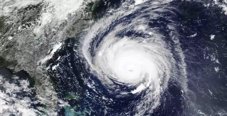
By Wednesday evening, a cyclonic circulation had formed over the East-Central Arabian Sea and the nearby North Karnataka-Goa coast, intensifying into a low-pressure system. According to the India Meteorological Department (IMD), this system is likely to continue north and could develop into a depression today.
The regional weather office has also announced that the southwest monsoon would most likely arrive on the Kerala coast within three to four days, bringing with it exceptionally favorable weather conditions.
The monsoon has now reached regions of the South Arabian Sea, the Maldives, and the South, Central, and Northeast Bays of Bengal. It is likely to expand its coverage in the next days to include parts of the South Arabian Sea, the Maldives, Lakshadweep, Kerala, Tamil Nadu, the South and Central Bays of Bengal, the North Bay of Bengal, and several northeastern states.
The developing low-pressure system is expected to cause heavy to extremely heavy rainfall along the western coast, including Gujarat, Goa, Karnataka, and Kerala, throughout the week.
In contrast, the IMD has issued a yellow warning for thunderstorms in the districts of Mayurbhanj, Keonjhar, Sundargarh, Jharsuguda, Bargarh, Gajapati, Rayagada, Koraput, Malkangiri, and Nabarangapur for the next 24 hours. A yellow warning for hot and humid weather has also been issued for the districts of Balasore, Bhadrak, Jajpur, Kendrapara, Cuttack, Jagatsinghpur, Puri, Khordha, Nayagarh, Ganjam, and Gajapati.


